Ecosystem Services Mapping to Support Environmental Conservation and Planning Decisions in the Okanagan Region
Ecosystem services (ES) are the benefits humans obtain from ecosystems. ES include provisioning (e.g., food, water and fibre), regulating (e.g., erosion control, flood protection), cultural (e.g., spiritual and physical well-being, aesthetics, recreational opportunities), and supporting (e.g., habitat for biodiversity) services. The concept of ES provides an explicit link between humans and their environment, evoking the dependence of human populations on their ecosystems for quality of life and well-being. Increasingly, land and resource management policies seek to internalize ES into on the ground planning, however few methods exist for mapping and quantifying ES in a Canadian context.
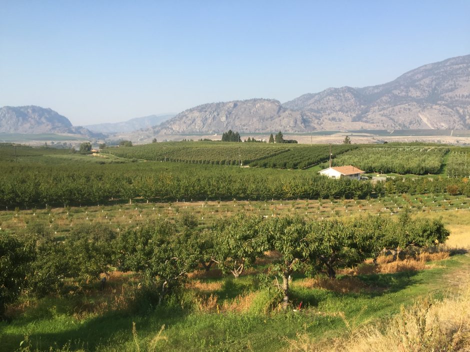
The objective of the present project is to develop a methodology for mapping ES in British Columbia using publicly available data. The Okanagan Region has been chosen as a case study area, due to the high dependence of the human population and related lifestyle and economic activities on regional ecosystem services, and the potential for these services to be lost due to fragmentation of the natural environment as a result of conversion for human land use. Year 1 of the current project involved completing a list of ecosystem services relevant to social-ecological sustainability in the Okanagan Region, British Columbia, and the identification of available data for mapping the contemporary distribution of these ES. Following this, the current distribution and value of three ES (water regulation, landscape aesthetics, and food from plant agriculture) was mapped based on indicators for the ecological processes underpinning the production of these ES. The results highlight the high value of the natural environment in the Okanagan, particularly Okanagan Lake and the forested hillsides, for both landscape aesthetics and water regulation. Plant food agriculture is concentrated in key low elevation areas of the valley bottom. The mapping of additional ES in future project years will allow for the identification of areas on the landscape that are important providers of multiple ecosystem services and that should be prioritized for conservation in regional land use planning.
The Project area encompasses the three Okanagan regional districts and natural watershed boundary of the Okanagan. Project stakeholders include local, regional, and provincial governments, NGOs, and community groups involved in the planning, management and use of ecosystem services.
Resources and further reading
Full Project Report, Year 1 (11MB, 64 pages).
Short note on water flow regulation ecosystem services mapping for the Okanagan. (4 pages)
Short note on landscape aesthetics ecosystem services mapping for the Okanagan. (4 pages)
Acknowledgements
This project was undertaken with the financial support of the Government of Canada, specifically the Environment and Climate Change Canada Okanagan Ecosystem Initiative program, The Natural Sciences and Engineering Research Council of Canada (NSERC), and The University of British Columbia.